
 When Great Powers Talk, Who Speaks for Asia
  About the China Capital investigation
  Frequently asked questions about the China Capital investigation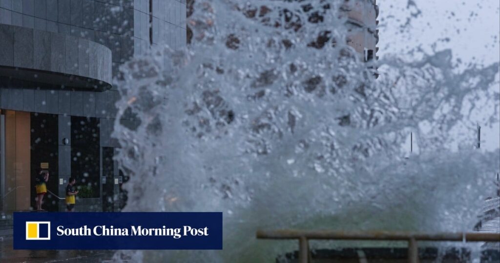
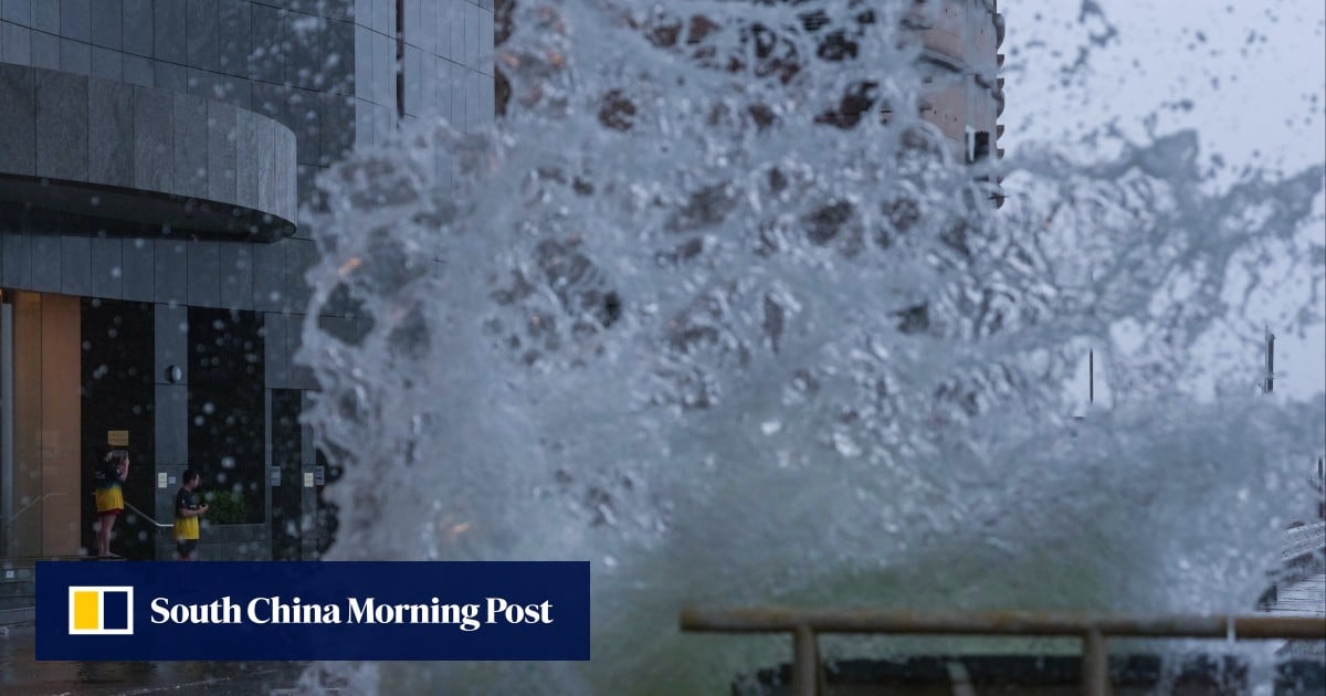
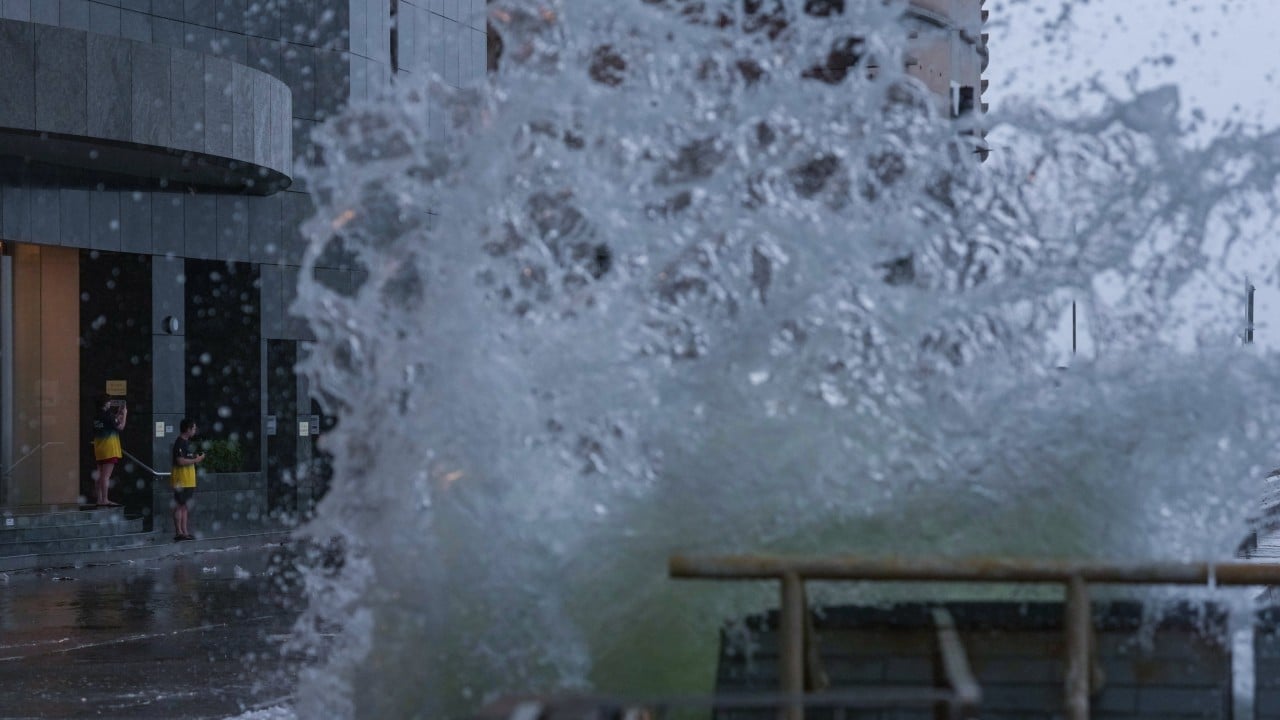
“Noul is moving steadily into inland Guangdong and weakening progressively, but gales are still affecting many places over Hong Kong, with occasional storm-force winds offshore and over high ground,” the weather forecaster said on Sunday.
“The gale or storm signal No 8 will remain in force at least until noon. Depending on the degree of weakening of local winds, the Observatory will then consider issuing the strong wind signal, No 3.”
At 9am, Noul was centred about 80km (50 miles) north-northeast of Hong Kong and is forecast to move northwest or north-northwest at about 15km/h (9mph) crossing inland Guangdong.
The forecaster said that under the influence of rainbands associated with Noul, there would be frequent heavy squally showers and thunderstorms on Sunday.
Don't Miss:
-
China urges ‘constructive dialogue’ with EU in high-level call with France
-
Hong Kong airport builds third runway with strategy to help marine environment thrive
-
Cambodia, Thailand take US$300 billion seabed dispute to UN
-
Hong Kong visitor arrivals hit post-pandemic monthly high in August
-
Indonesian finance minister found out about his firing in mid-meeting phone call