
 When Great Powers Talk, Who Speaks for Asia
  About the China Capital investigation
  Frequently asked questions about the China Capital investigation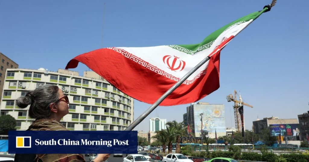
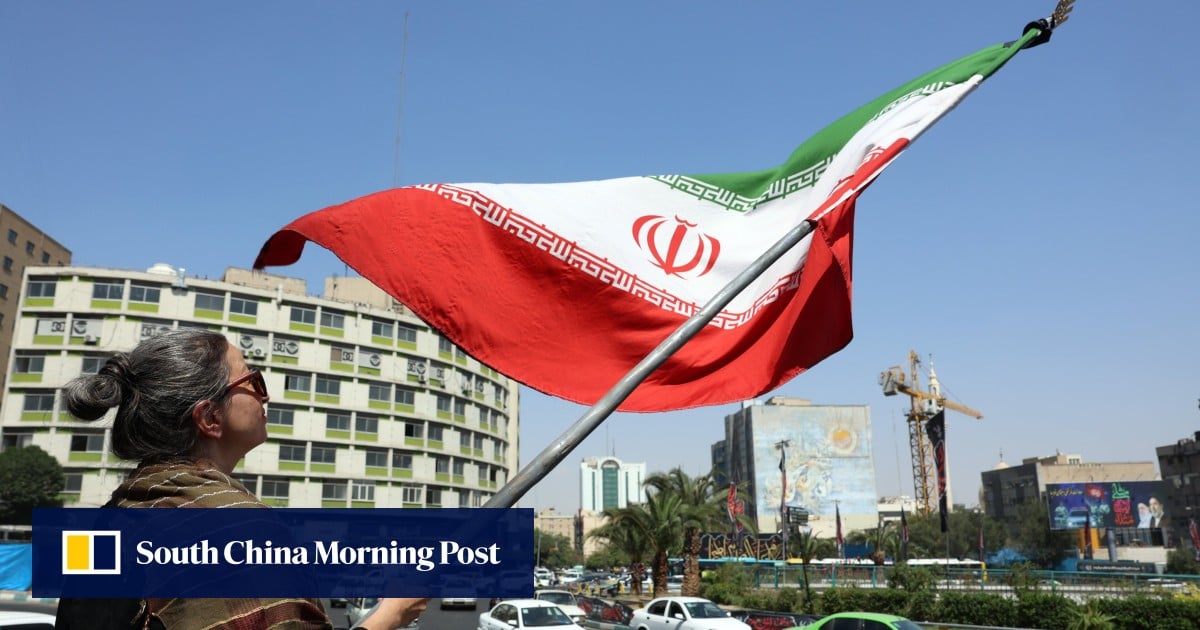
Chinese scientists have used detailed satellite imagery analysis to examine damage to US military bases in the Middle East, uncovering discrepancies in both Washington and Tehran’s claims over the scale of the conflict.
“The observed scale of destruction indicates physical impacts that exceed the characterisations of ‘minimal damage’ or ‘successful defence’ commonly presented in US briefings,” the scientists wrote in a letter published in the peer-reviewed journal The Innovation on July 7.
“Concurrently, it also suggests that Iranian claims of ‘massive strikes’ may be overstated.”
On April 4, the US enacted “shutter control” measures on several commercial satellite providers, including California-based Planet Labs, suspending the distribution of high-resolution space imagery over conflict zones.
Don't Miss:
-
China urges ‘constructive dialogue’ with EU in high-level call with France
-
Hong Kong airport builds third runway with strategy to help marine environment thrive
-
Cambodia, Thailand take US$300 billion seabed dispute to UN
-
Hong Kong visitor arrivals hit post-pandemic monthly high in August
-
Indonesian finance minister found out about his firing in mid-meeting phone call