
 Michael Marx on Corporate Campaigns in the USA
  Losing language and culture in Xinjiang
  Manila’s EV ambitions confront economic and energy realities
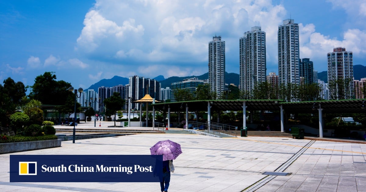
Hong Kong’s observatory has warned of heavy showers and squally thunderstorms over the city in the coming week, but said it remains uncertain whether the low-pressure trough driving the storms will develop into a tropical cyclone.
A spokesman for the Hong Kong Observatory said on Sunday that convective clouds associated with a broad trough of low pressure have been affecting the central South China Sea and are expected to bring heavy rain and thunderstorms to the city on Tuesday and Wednesday.
“Whether the area of low pressure will further develop into a tropical cyclone remains rather uncertain,” the spokesman said.
The forecaster added that the trough of low pressure was expected to move closer to the coast of southern China in the next few days.
On Tuesday, the weather is predicted to be mainly cloudy with occasional showers and a few squally thunderstorms. Temperatures are expected to stay between 26 and 30 degrees Celsius (78 to 86 degrees Fahrenheit) with a high probability of significant rainfall.
A day later, the city could expect to see heavier showers in some areas at first, with the weather remaining cloudy with showers and squally thunderstorms. Temperatures on Wednesday are expected to range from 26 to 30 degrees.
Don't Miss:
-
Tiguerones Leader ‘Willy’ Is Living Free in Spain
-
Video Shows CJNG Member Burying Landmine in Apatzingán, Michoacán
-
Explosives Workshop Raided after Shootout in Balleza, Chihuahua
-
The Eccentric Extravagances of “Captain Sol”: 12 Properties, a Penthouse in Tulum, and Casino Spending
-
Fight at Mazatlán Prison Leaves 10 Dead: A 2-Year-Old Boy Died During a Family Visit